


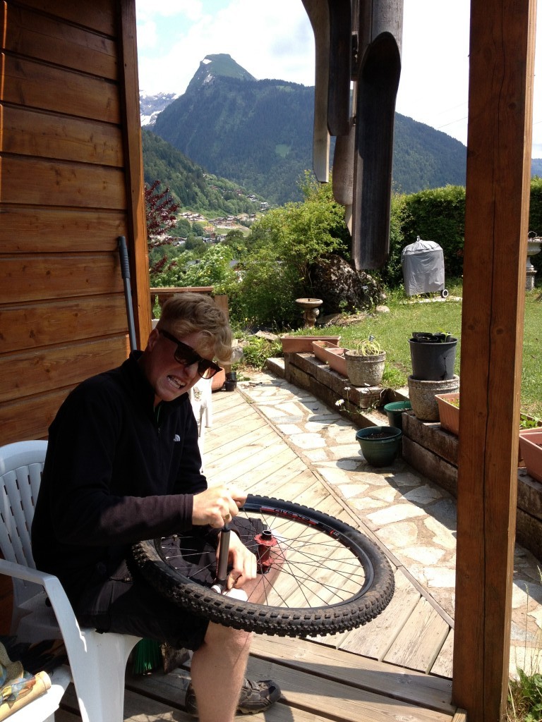
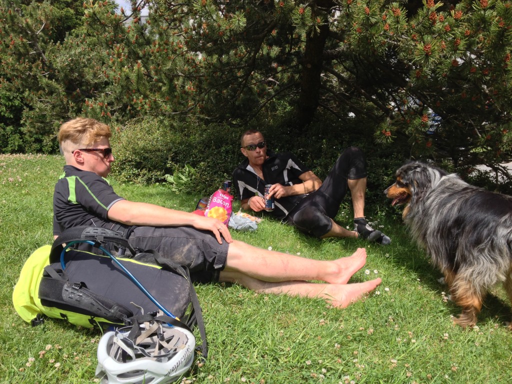
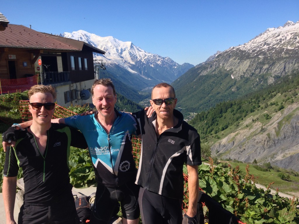
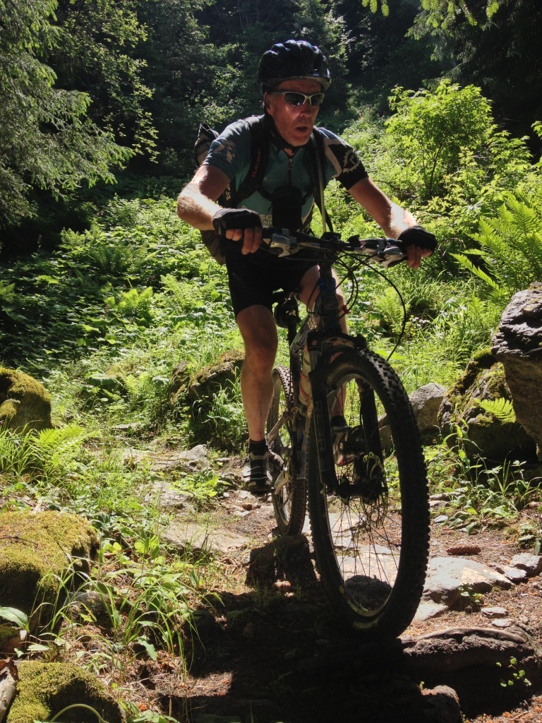
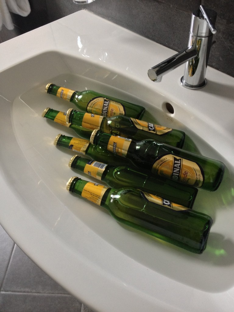
Myself, Ali and Al arrived at Chalet la Combe in Morzine to be met with a startled owner who was clearly not expecting us. What was worse, the stack of cases in the lounge looked as though other guests had just arrived in front of us. Luckily it turned out that the cases were the owner’s and Jan was a fantastic cook and host. http://www.bedbreakfastweb.com/host.cgi?id=506 As we didn’t bring a bleed kit with us, we were carrying all our gear for 2weeks in our 20L packs, it was off to a bike shop to sort out my rear brake. Turns out I wasn’t the only one off that flight in the queue with a defective brake.
excitement and anticipation building
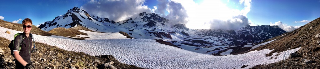
Day 1
| Col de Cou, Morzine | 10:04am | 04:24:53hrs |
25.85km |
1,082m |
5.9kph |
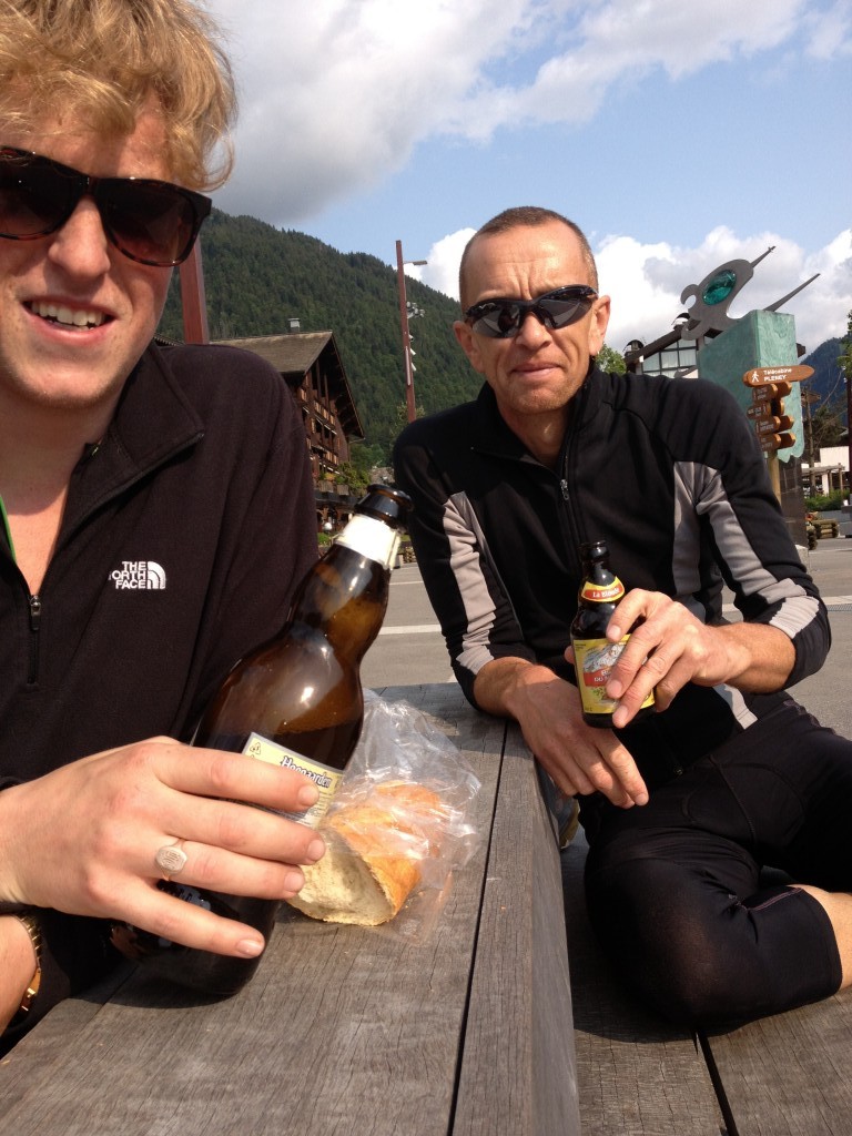
The next day we headed up the valley to the Col de Cou 1805m, the Swiss border and the GR5 path to test out our bikes and lungs. We were treated to the sounds of the cow and goat bells and fantastic meadow flowers. At the top there were patches of snow, some sleet and mist, an omen of things to come. Then some great descents back down for a late lunch of our staple diet for the next 2 weeks of bread, cheese and salami of this occasion we had a beer or two and met up with Graham and Dene and his family.

Day 2
| Pass’Portes du Soleil | 7:24am |
11:09:53hrs |
108.18km |
7,493m |
9.7kph |
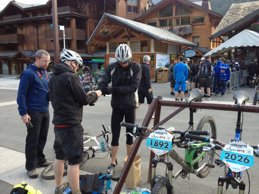
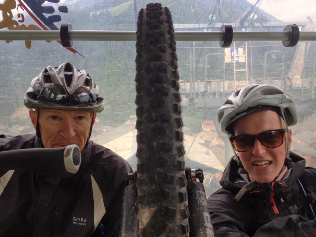
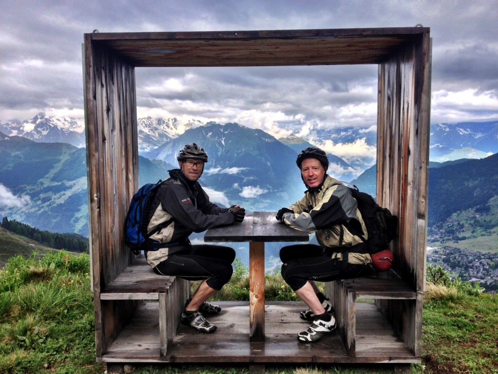
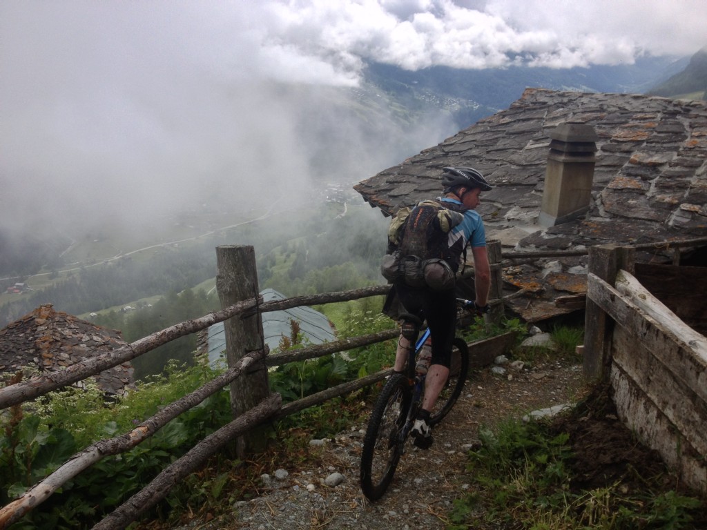
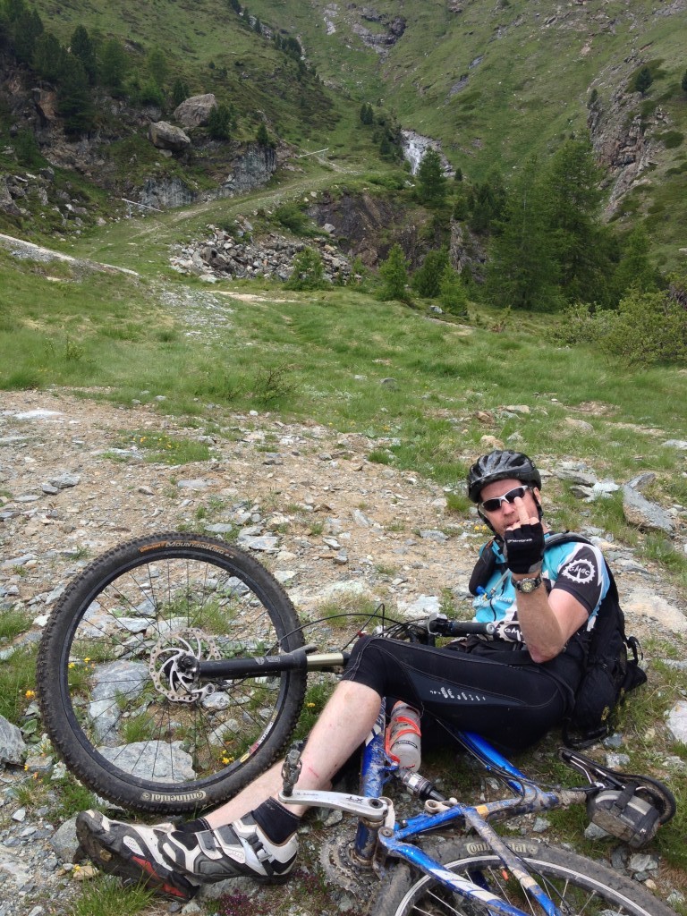
It was an early rise for a rendezvous with our photographer, Graham at 7.30 before the start of our Pass’Portes du Soleil. But before we knew it, we were up, up and away, these chairlifts could catch on. It wasn’t long before Ali found sound north shore and Al & I found the chicken runs. Our early start meant that we didn’t meet up with Robin, who was on honeymoon duties in Chatel. We were advised, wrongly as it turns out, that the section over into Swiss Torgons was not operating, so we didn’t do that section. We had a lunch stop in Morgins and the soup was a welcome surprise whilst we watched a demo from trials bike team. Perhaps these were the skills we would need for the next section. At our next stop in Champey, beer was provided so we felt obliged to try some. There was then a deep bermed descent that pushed me to my limits but Ali would have happy to do it again and again. The signage was pretty good on the whole but the next section lead to our first disagreement on route choice. The signage said one thing but the map printed presumably weeks in advance was different. The temporary tape blocking the route had been ‘removed’. We, along with most, followed the ‘map’ route that took us down over a snow field and the across a scree before a fast fire road descent. I was at the back as usual, Al out in front and Ali in the middle. I got my first puncture but no tubes, remember we were travelling light, we had shared out the spares and tool kit. I was looking at a long and frustrating walk, fortunately Ali heard my anguish and came to the rescue. Yes after this I carried a spare tube along with a pump, as it turned out I was going to need them. On our way back to Morzine we came across the aftermath of an accident. Fortunately there was plenty of help there including a helicopter so my first aid was not required. We then headed over to Les Gets on our final loop. By this time it was getting late, it was fairly quiet and we were getting fairly blasé about the route choice. So Ali went off on his own and Al and I found some great downhill trails into Morzine for our final flourish and time to call it a day, a great day in fact.
Day 3
| Morzine2Passy | 9:59am |
10:11:56hrs |
70.21km |
2,452m |
6.9kph |
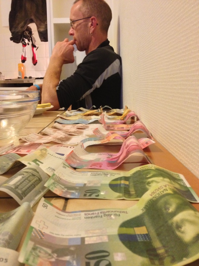
We woke the next morning to the sound of steady rain, which was forecasted to last all day. Yesterday we had worn our waterproofs to keep the wind out, today would be different, today we were also carrying all our worldly possessions for the next 2 weeks. By the end of the 2 lifts out of Morzine towards Les Gets we were already cold and wet and into the mist was not helping my navigation. We asked several lift attendants for directions who all said it wasn’t possible what we were attempting to do. But armed with my Garmin 800 and a route already plotted and 2 fairly dubious fellow adventurers, we made our way cross country. We were even able to guide some lost mountain bikers. We had some great descents down into Samoens where we took stock. The Tourist office said our route was closed due to ‘beacoup de neige’, we could see our route leading up into the mist and snow on the Col d’Anternnne 2257m. So we had a great lunch of steak and fries, watched The Tour, dried out a little and hatched a plan. We decided on a road ride to Cluses where we would get a train to near where Al had booked some accommodation. When we got to Cluses, we found that we would be quicker riding, rather than waiting for the train. We eventually found our way out of Cluses and along some nice quiet bike lanes along the valley towards Chamonix. We left the valley floor and climbed and climbed and climbed up 700m to Passy . Along the way we managed to pick up some pasta before the shops closed. Cleaned, fed but not watered, we set out to dry our kit, Al’s money, Ali’s iphone (which never recovered) and our socks hung over the cooker.
Day 4
| Passy2Montroc | 9:38am |
10:59:55hrs |
40.17km |
1,389m |
3.7kph |
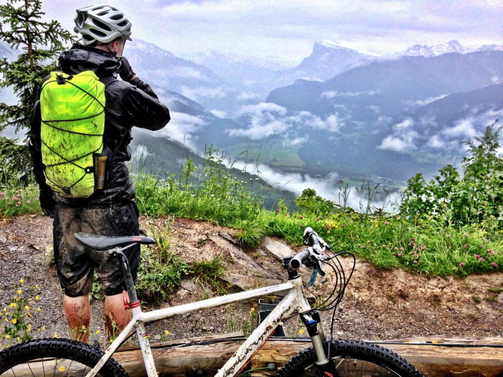
Our spirits were lifted the next day with bright blue skies and swirling clouds revealing the Mont Blanc range. Yesterdays climb rewarded us with some great descent down to Servoz and the valley floor. Rather than take the easy route along the valley floor we climbed back up and traversed along the valley. Then, rather than take the obvious double track descent, Ali thought he spotted some singletrack, I followed, Al didn’t. The singletrack was good while it lasted. We had to climb down through the trees and eventually reached the railway with a culvert to avoid the electrified line. We met up with Al in Les Houches were he had met up with the guardian of Gite Michael Fagot, who told him about beacoup de neige and that some of the TMB passes were still full of snow but that we should check with the Mountain Guides in Chamonix. It was our plan to do the Tour de Mont Blanc(TMB) in an anti-clockwise direction starting at Les Houches. The Mountain guides confirmed that mtb was not advisable on the Col de la Croix du Bonhomme at 2433m or the Gran Col Ferret at 2537m. So we reverted to Plan B, Chamonix to Zermatt. Although there were 2 cols even higher, we hoped that because they were further away from the Mt Blanc massif the snow would not be so much of an issue and it would have a few more days to melt by the time we got to them. There’s optimism. Our usual lunch diet of bread cheese and salami was supplemented by some lovely apricots and peaches, but not helped by the stray dog that we attracted, were we beginning to smell that bad? It was my first visit to Chamonix, too short, I will be back to do TMB. So we left a jumping Chamonix and the finish of their mountain marathon and headed up the valley. Al took the road, and Ali and I took the off road trails but we underestimated the distance and climbing and difficulty finding Gite Refuge le Moulin up above Argentiere. Luckily Al was there before us but our booked beds had been given away as we hadn’t turned up by the prescribed time, we also had missed our meal. Fortunately we were allowed to sleep in the lounge. A long day with out the reward of food was not good end.
Day 5
| Montroc 2 Chable | 8:38am |
10:22:42hrs |
44.33km |
1,974m |
4.3kph |
Over breakfast we heard stories about the snow on TMB and reckoned we had made the right decision, later in the day we would know if Chamonix to Zermatt was possible. We had a climb up to Col de Balme 2200m and the Swiss border. On the climb up, no we didn’t take the chair lift, Al pointed all the summits and climbs that he had done looking back into the spectacular Chamonix valley. We did climb up through snow drifts but due to the prevailing wind there would be more snow on the Swiss/east side. We also heard and even saw our first marmots. The col was busy with TMB walkers but soon we were looking down a long stretch of snow to be crossed with a rather long slide down to the bottom of the valley. Fortunately the snow was soft and there were already footsteps and we hoped we could use the handlebars as ice picks, if needed. Thankfully they weren’t and we entertained the bemused walkers. This gave us confidence, at least in perfect conditions. So we relaxed and enjoyed the descent to the valley floor in time to find that the shops close for lunch, this was to be a recurring theme. So we headed up to the restaurant at the Col de la Forclaz at 1500m and treated ourselves. We then traversed along the contours to the Bovine Alpine Hut before leaving the TMB route, and the fantastic views down into Martingy and the Rhone valley. We then had a bit of a debate as to which route to take down, suffice to say we leaned a lot about ourselves and each other.
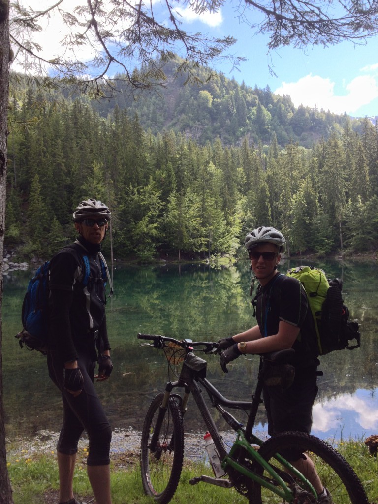
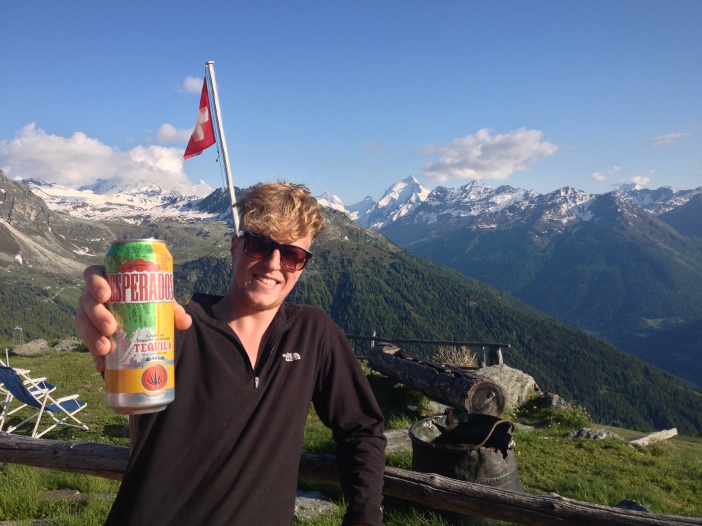
The valley floor was hot and we sheltered in the shade whilst Al fixed his gears. We headed up stream following a path that quickly degenerated into a tough scramble, similar to the north end of Loch Lomond. In places huge stretches of the path were washed a way but we reckoned it was more enjoyable than the road. We were aiming to get up to Cabine du Mont Fort but had missed the last lift up from Chable to Verbier, so we started looking for some where to stay. We had a quick chat with Lucy of Bike Verbier who was full but pointed us in the right direction of Hotel Poste, what a find. We were soon on the grand bieres and tucking into a great meal, although maybe not of mtbers proportions. We were joined by another solo mtber who was heading over solo to Fenetre de Durand at 2979m and then to the warmer climes of the Riviera.
our first test of beaucoup de neige
Day 6
| Chable 2 Cabine du Mont Fort | 10:38am |
05:40:33hrs |
23.42km |
1,657m |
4.1kph |
Mornings usually started off with some tweaking of brake pads and lubing using Al’s secret weapon, baby wipes, to clean the chaina. Ali decided to take the direct route up through Verbier to the BikePark where as Al and I took the scenic route up to the Cabine du Mont Fort. So it was in the granny ring, on the saddle for a long hot day but we were amply rewarded with the spectacular setting and true mtber dinner portions. This was one of Al’s highlights from his previous trip.
Day 7
| Cabine du Mont Fort 2 Prolin | 9:23am |
07:25:46hrs |
53.28km |
1,243m |
7.2kph |
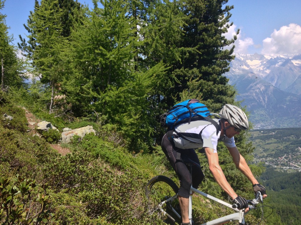
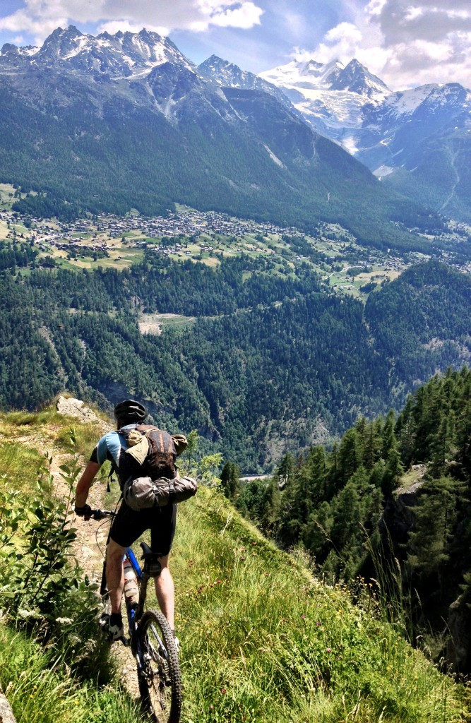
Starting at 2457m there was only one way to go, so the day started with a bang following some techy trails along irrigation channels over to Croix du Coeur where we picked up the Grand Raid MTB route which connects several skiing resorts all the way to Grimentz 125km away. We improvised where possible ‘improving’ the descents, not always successfully. Not only did we arrive in a village a lunch time when the shops were closed, these resorts were deserted. However we found a fantastic baker with filled rolls the size of a dinner plate. I can remember thinking I’m not going to be able to finish this but I did. After lunch we left the climbs of the Grand Raid and followed the bisse(es), which are water irrigation channels hugging the contours. We were behind schedule, again, so it was an attempt to gain some ground. As it was we had to settle for less, we were not going to make it over the next climb but that meant the following day was going to be a monster. Tomorrow was going to be a big day because it not only included the climb we had failed to complete today but also the 2 highest climbs of whole the trip. Al’s French saved the day again and we found some good accommodation in Prolin that we shared with a bunch of lively Belgian botanists looked after by Helen from Liverpool: http://www.pensiondeprolin.ch/mainsite_english.htm
Day 8
| Prolin 2 St Jean(almost) | 8:03am |
11:42:00hrs |
49.46km |
2,835m |
4.2kph |
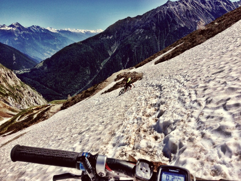
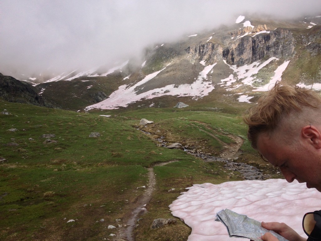
The morning’s weather looked good and the clouds lifted as we climbed up the road. Then across the top of the high mountain alpage, over some great natural trails though isolated farm buildings and down steeply into Evolene for lunch by the water fountain. Refuelled it was back up for the highest 2 climbs of the day and the whole adventure. Al decided to take the road route; the intention was to meet up at Gite St Jean. As Ali & I made our way we looked at our progress and what we had to do, we calculated that we should be able to do it before darkness, if, no mishaps. We agreed if we could get to the col, Pas de Lona 2787m we could take a view of the descent, probably more snow filled, before proceeding further. As we got closer we could see the first col shrouded in mist, there was snow field to climb up this time, much more difficult than before, going down hill. There was also scree to cross that was ‘inflated’ with water again very tiring and difficult to climb up through. However as we got closer to the col the mist lifted and although there was beaucoup de neige it wasn’t too steep on the other side and we could see over to the final col, at 2702m. We made good progress across the ‘red’ snow – some kind of deposit on the surface of the snow. When we reached the col the sun was setting and we descended quickly into the deep shadows of the valley, Lac de Moiry dam. Getting cocky near the bottom, I took a tumble and that put an end to my front gear changer for the rest of the trip. I discovered you only need 9 gears in the Alps, providing that includes the granny ring. Ali will testify to this too, his big ring was so bent, bashed and toothless it was useless. We also managed to electrocute ourselves on the cattle fences on our way down to Grimentz. Some Belgians directed us down to the next village St Jean where we met up with Al. We were late again and had missed our supper but we could help ourselves to breakfast cereals and there was a beer for us. As it turned out, Al was not far in front of us, even with a bus lift up into the valley.
Day 9
| St Jean 2 Caban Bella Tola | 12:01am |
05:39:06hrs |
20.16km |
2,178m |
3.6kph |
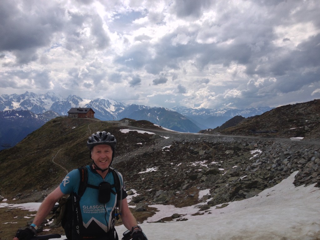
It’s amazing what a sleep, good breakfast and blue skies can do to revive you and today was going to be an easy day, we could even see our destination across the valley, Tignosa, the Swiss downhill course. Ali decided to go the direct road route and get some more runs in whilst Al and I took the scenic path route, which would have been fine if we were going downhill but instead we were pushing up hill. We had a couple of runs with me doing the chicken runs and keeping the rubber on the dirt, however my rear brake was playing up again so I took the opportunity of the hire shop to re-bleed my brake again. Ali insisted on getting a carryout, armed with this we got the last funicular up the hill. From there it was another couple of hundred meters climb to Cabane Bella Tolla, yes we are still in Switzerland. This was to be one of my trip highlights with a fantastic sunset and so calm and quiet, with great food from the 3 young guardians, There was only 2 others staying and it was the same last night when they could have accommodated over 50. We also got our first and distant view of Mont Blanc.
Day 10
| Caban Bella Tola 2 Unterbach | 9:39am |
08:10:56hrs |
30.71km |
1,248m |
3.8kph |
The next day was full of promise, yes we were getting used to blue skies, but our route today included the legendary 57 switchbacks, all down hill. We hadn’t gone far and I had yet another ‘unexpected’ puncture. We climbed up to the Illhorn col and met up with some local riders. The snow wasn’t too bad but the descent was steep and techy. We had out packed lunch at a beautiful lochan and the boys went for a paddle. Then across the dam building site and then up again before the start of the 1400m descent. Firstly across open moorland, then scrubland and then finally through the trees. No we didn’t count the 57 switchbacks, too busy alternating our legs and getting our feet in the right position as schooled by Al. We were now close to the Rhone valley floor and the temperature had risen. We managed to get water from the village wells, but now to find some accommodation. We came across the hotel that Al had stayed in before but they were full but pointed us in the direction of another hotel in the next village Unterbach up the hill. Soon we were showered and in our ‘evening’ wear and beers and pizzas were ordered, oh and punctures repaired.
Day 11
| Unterbach 2 Zermatt | 10:25am |
08:20:11hrs |
61.82km |
1,845m |
7.4kph |
The Bietschhorn Hotel also became a highlight when we came to settle the bill, 50CHF each, for everything, we were paying 80CHF for only Bed and breakfast. Needless to say the bill put a smile on our faces as we road climbed out of the village up through chalets and a ski lift, working! We traversed over high mountain pastures to Moosalp, sadly no moose just loads of tourists and a busy/expensive café/restaurant, so we didn’t stop. Instead, we began the most fantastic 1100m zig zagging descent of the trip down through a gorge with superb view across the Mattertal valley. Somehow I managed to notch up my 5th puncture and we got some beer, German sausage and sliced potato for lunch in St Niklaus. It was then a long, slow and hot road climb up to Zermatt. The road approach into Zermatt is not the prettiest past all the construction companies yards. And then you are met with all the construction cranes scattered throughout the town. However the Youth Hostel did not disappoint. I think we got the same room as we did when we were there skiing 10 years ago with a view of the Matterhorn through the cranes.
Day 12
| Schwarzsee, Zermatt | 9:19am |
05:00:42hrs |
22.72km |
1,125m |
4.5kph |
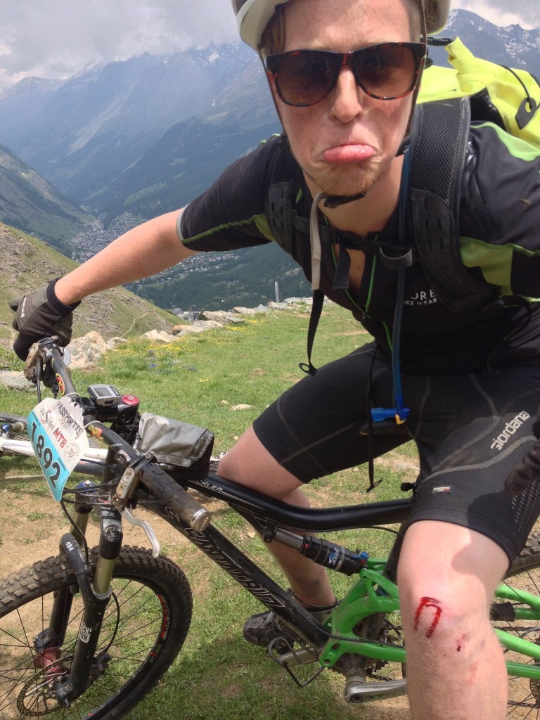
We of course picked the most difficult ride we could find that took us up to Schwarzsee, but that wasn’t difficult enough for Al. so he added in some more climbing. If it wasnt for the scenery you would have thought you were in Japan, with all their full trekking kit, we felt under dressed. At the top we improvised a downhill route that had me struggling. I can remember it as a challenging black ski run. Ali was the first to draw blood and Al and I were not far behind, perhaps the penultimate day we were letting things ‘go’ a little.
Day 13
| Zermatt 2 Brig |
|
The final day was meant to be a gentle spin down the single track all the way down to the Rhone. Instead, Al insisted that he remembered we had to climb out of Zermatt. He was right up to a point, but we didn’t have to climb so much. On reflection his excuse was, that it was an indication of how his fitness had improved in the last couple of years. It was a superb wind down, we were treated to some goat herding, some very expensive and skilful helicopter tree harvesting some great tails overlooking the valley for very little effort. We rode into Brig and found Bike Sport Simplon http://bikesportsimplon.ch/and sure enough Michael and his team had boxes laid out for us. They couldn’t have been more helpful and even drove us and bike boxes to the hotel. It was not by accident that the Hotel was just across from the railway station. That should be the end of our adventure but there is a post script. Ali chose the biggest bike box ever, this was to save the ‘huge’ task of removing wheels and discs etc. All was fine until we got to Geneva airport and we were advised it would not fit through the scanning machine. So it was a tense time trimming the box to size. Incidentally you can buy boxes at the airport but I didn’t know that until we got there.
Would I do it again, definitely would like to do TMB. Going early in the season meant accommodation was easy to get. The snow that we came across didn’t present us with a problem, but their season was somewhere between 4-6 weeks late, so we should have been ok. Oh, and yes I should have spent some money on downhill inner tubes and or tyres.

Wow! Fantastic ride report Chris! You’re making me jealous… must do something similarly epic soon me thinks! Like the summary map with all the stats on it – does your Garmin do all that automatically?
Shame about all those flat tyres – you really should unlock your 90mm shock for the downs!
🙂
Great report guys. Delighted you enjoyed it. Chris – if you have any TransRockies stuff at your fingertips that you could put on the site then that would be fantastic too.
I drank two cups of tea reading this. Epic write up. I wish I could say it inspired me but looking at the mountains you were riding on only brought on cramp.
Agreed. Epic riding and an epic write up. You Sir, are a legend! I remember the Scottish offroad C2C you and Al did – that’s on my to-do list for next year.
Great write up, but looking at the daily summary above, it appears that on Day 11 your max speed was 143.1kph. Did you fall off a cliff?
Gavin – Garmin exports to a .kls file, so quite easy. Yes I should have upgraded tyres or tubes, I will for sure next time
Gerry – TransRockies08 photos here to whet your appetite, ride report to follow http://www.flickr.com/photos/chrisbj/sets/72157607148863769/
Graham – C2c photos here, happy to help with route planning too if required http://www.flickr.com/photos/chrisbj/sets/72157624950374184/
Dave – I hadnt spotted that If you look at the map trace around Zermatt there is a spike, dont remember falling off then, I think its a GPS reception glitch. I though I might have got some comments about how low the average speed is, so slow.
Great read, you’ve obviously mastered the art of falling off the bike whilst on holiday. You handled it well this evening 🙂