Looking for advice and help using an Android mobile as my GPS. Currently have Endomondo as the Trail/Route app but they don’t use OS maps, so there is no detail, just white and green spaces.
Thanks to a GMBC post I signed up for the free, 3 month OS subscription! Installed the OS Mapfinder on my mobile. I can now see all the UK on my laptop, create routes and export them to mobile but I cant get the 1:25000 OS maps onto my mobile! I need maps on my mobile rather than constant uploading of data as most of the places I go have no mobile coverage!
Any ideas for easy OS map use on an Android so I can see where I am and plot the trail i’ve ridden? Forget OS and use Viewranger? Forget the mobile and buy a GPS?
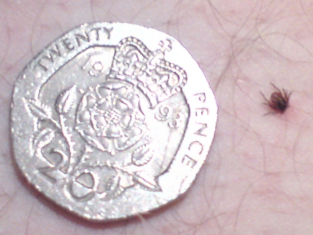 Up till 4 weeks ago I hadnt seen a tick, this is my third, so I thought I would share the little blighter. I am no expert but we are looking at it’s tail, it’s head is in my leg. This was the biggest and the most difficult one to remove cleanly. I really struggled with ordinary tweezers to twist it out so I have ordered the O’Tom tick tweezers that the Lyme Disease Association recommends